

Today was the day that the “walking the line” project was completed. Started in the 2007 season this was a project to walk the Hejaz Railway line from Ma’an in the north to Wadi Rutm in the south a distance of around 80 km or 50 miles.

Yesterday the main field walking team completed the last section of around 35 km from near Bir Shedia to Aqabat Hejaz stations.
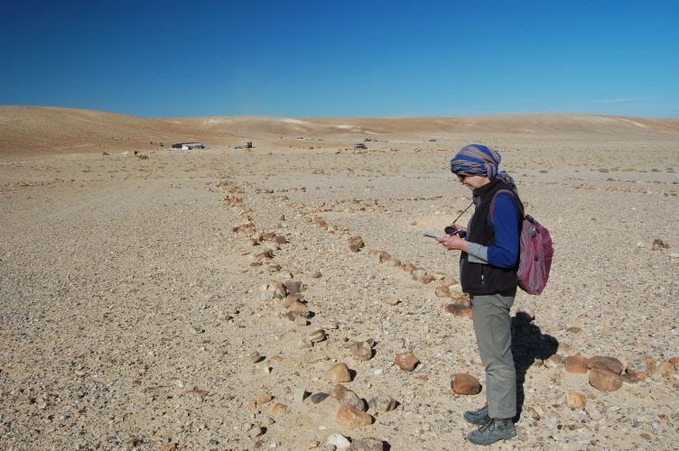
Yesterday was a day for tent rings. We recorded over 100 tent rings in 5 encampments. These were arranged in “avenues” of between 9 and 12 tent rings and as usual they were aorund 4.5m in diameter. Some of them were ephemeral features but others were much more substantial structures with large stones around their perimeter.

It has always been something of a puzzle as to the date and function of these remains of tented encampments. Were they used as construction camps during the building of the railroad or were they associated with the defence of the landscape, or perhaps both i.e. re-used by the Ottoman military between 1916-18? We still do not know for certain but we are beginning to understand them a little better. For example we located on encampment close by a stone quarry and we have interpreted this type of tent ring pattern as being associated with construction work.

Today we continued the walk southwards. We were entering a region that saw reconnaissance flights by the Royal Flying Corps in early 1918 and we had with us a sketch map from that period. This showed a large fortified area within a system of trenches adjacent to a 9 span viaduct. At about midday we found what we were looking for, a large fortified enclosure comprising an outer defensive wall and ditch and an inner fortified stone building complete with firing loop holes in the walls. Later in the day we met a Bedouin family who stopped to talk with us and we asked then about the name, which was UMM ALUMED referring to the branches the Ottomans cut from nearby trees to use as tent poles.

We set about to record the basic details of the fort realising that we were not the first to do so; it having been recorded 91 years ago by a lone pilot flying in an open cockpit aeroplane. We were very conscious that we were following on the ground the very path flown by a member of X flight during the early part of 1918.
Later this afternoon we discovered a series of 3 small forts of a type that we have not previously seen. They were small buildings, two being square, about 8 x8m and one circular, 24m diameter, but all set within a square lightly defended enclosure. The round fort also had an elaborate paved area made from uniform black basalt gravel, almost ornamental in appearance, and a well defined footpath leading to the entrance. We suspect that these forts were perhaps built at the time of the railways construction, around 1904 for this area, because they were too lightly defended to be of much use during the 1916 – 1918 period.

For more on the walking the line aspect of GARP please have a look at the entry under day 10 of last seasons blog.
No comments:
Post a Comment